Satlas
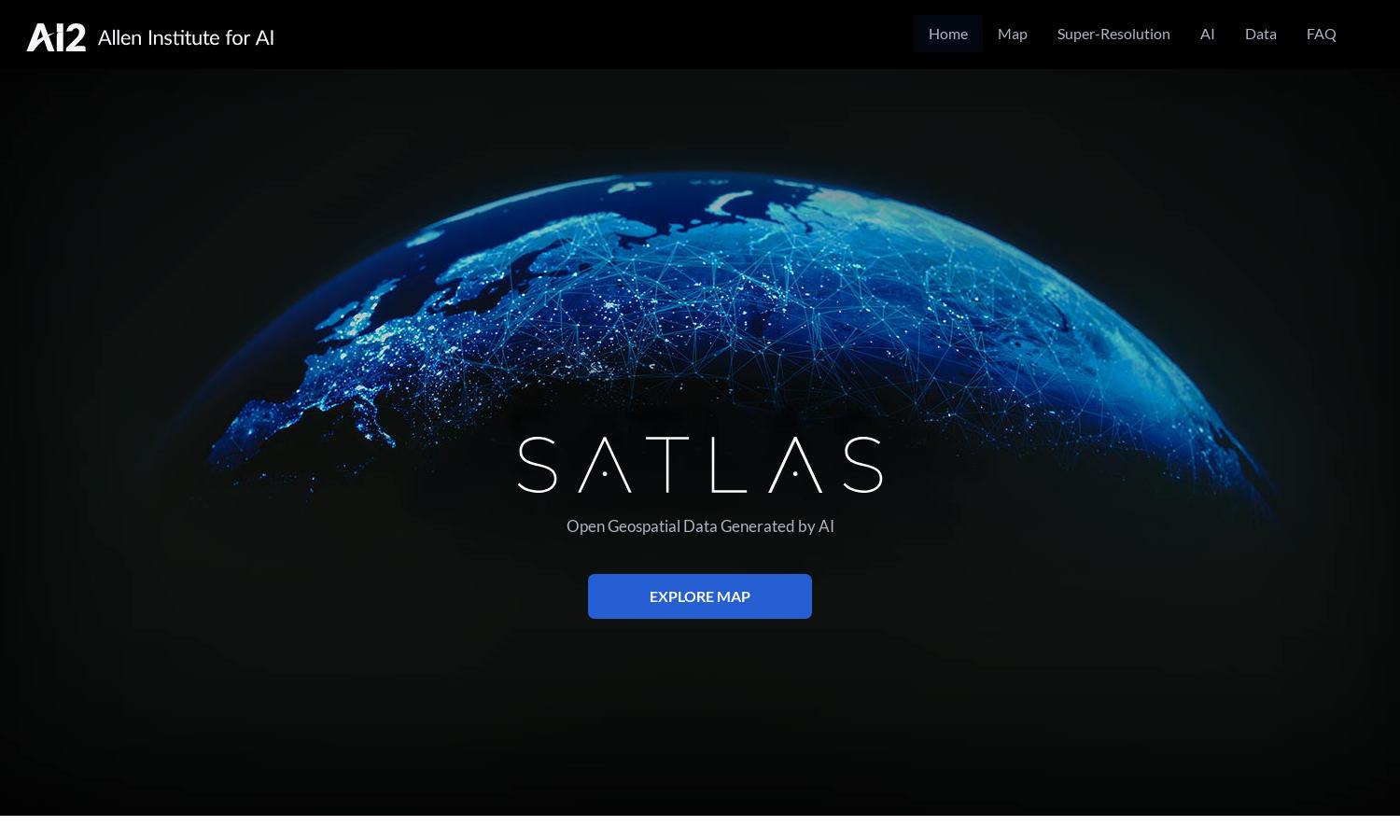
About Satlas
Satlas empowers users to explore Earth’s environmental changes through AI-annotated satellite imagery. With its advanced AI models, Satlas transforms low-resolution images into high-resolution insights, making it an indispensable tool for researchers, environmentalists, and anyone interested in monitoring global changes effectively and efficiently.
Satlas offers free access to AI-generated geospatial datasets for offline analysis, with no subscription fees. Users can download essential data and models, ensuring comprehensive insights into environmental changes. Upgrading to more detailed datasets enhances users' research capabilities, providing further depth to their analyses.
The user interface of Satlas is designed for an intuitive browsing experience, featuring streamlined navigation and comprehensive data visualization tools. Its clean layout ensures users can effortlessly access vital information, enhancing interaction while exploring satellites and geospatial data through a seamless and user-friendly design.
How Satlas works
Users begin their journey with Satlas by accessing the platform's main features through an easy-to-navigate interface. They can explore AI-enhanced satellite imagery, download geospatial datasets, and utilize powerful models. Through straightforward data analysis, Satlas helps users gain valuable insights into environmental changes and infrastructure development.
Key Features for Satlas
AI-annotated satellite imagery
Satlas offers AI-annotated satellite imagery, allowing users to visualize Earth’s changes. This unique feature provides insights into environmental transformations, making it an asset for researchers and enthusiasts keen on understanding geographical dynamics and phenomena through high-quality, AI-enhanced satellite visuals, enhancing decision-making and awareness.
Super-resolution technology
The super-resolution feature of Satlas enhances low-resolution satellite images into high-definition visuals. This technology allows users to examine minute details of environmental changes, facilitating better insights and more effective analyses for researchers, policymakers, and environmental advocates invested in monitoring ecological impacts.
Freely accessible geospatial datasets
Satlas provides freely accessible geospatial datasets, empowering users to analyze environmental changes offline. This feature ensures that researchers have the vital data needed for deeper investigations into satellite imagery, positioning Satlas as a valuable resource for enhancing understanding and promoting proactive solutions to global challenges.
You may also like: